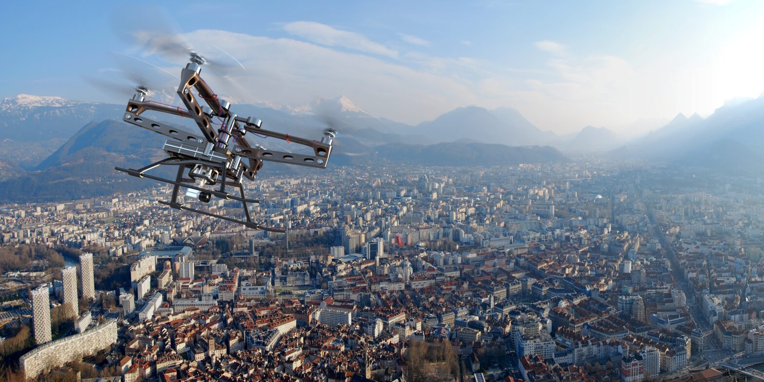
The news from the US yesterday was that Project Wing had given permission to Google to test its delivery drones on six different sites.
Commercial drone use is not far off, and soon companies like Amazon and Google will be delivering shopping, clothes and a host of other items door-to-door, from drone-to-drone.
>See also: The future of retail: digital, drones, decisions, data – and no queuing
But there was another announcement from the US yesterday.
The White House announced its plan to encourage the use of drones throughout government departments in a move to bring GIS systems into the heart of government operations in the United States.
Matt Jones, technical research manager at Esri UK, understands that “GIS [systems] can empower governments and businesses by capturing, storing, manipulating, analysing, managing and presenting all types of critical spatial or geographical data – in almost real time”.
Drones, in business and security are becoming an increasingly used technology that saves time, and improves the ability to monitor assets.
“Any government or organisation can use a drone to gather data to drive results,” according to Jones, which will “reduce costs and improve operational efficiencies by capturing professional 2D and 3D imagery in a matter of minutes”.
>See also: 5 cyber hacks that will affect your life in 2016
The availability of drones has provided GIS systems with a greater reach and enhanced its application. With the drone, GIS systems can enhance the capabilities of the organisation, and also provide specialised tools in order to gain access to sensitive information.
Vast networks of information are derived from the interpretation of data.
The drone – with its implementation of geospatial intelligence – has a vast host of applications, and it is easy to see why the US government believes the commercial drone industry will be worth $82 billion to the U.S. economy in ten years, and by 2025 support up to 100,000 jobs.
Extensive and increasing use of drones and GIS systems, however, does have a dark side.
Aside from the obvious possibility of breaches to individuals privacy and security, geographical information systems can be used to shape and manipulate certain landscapes for military, political, or financial gains.
>See also: Hacker easily hijacks police quadcopter from 2km away
The evolved geographical information systems will provide an endless network of information-sharing that will benefit business and political aims, but it will have to be monitored – perhaps by drones?