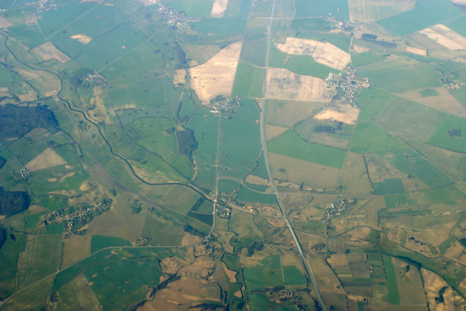
Location-based data
More data is being generated than ever before, and much of it is location-based.
In order to fuel important business processes, businesses need to be able to access and make sense of this data quickly and with minimal hassle.
Here are a few examples of how geospatial data can be put to use in a wide variety of situations, and how an open source approach enhances the benefits.
1. Precision agriculture
Food shortage is a serious global issue. Precision agriculture is an approach to farming designed to find smarter, better ways to produce more food using fewer resources.
Precision agriculture relies on GPS data to help farmers boost their efficiency and incomes by making better-informed decisions on everything from seed choice and crop location to when and how much to water and fertilise.
An open source GIS lets farmers scale their technology as needed and to integrate location-based data into their existing farm IT environment.
When not locked into a single GIS vendor, the farm staff can gain flexibility and attain well-rounded expertise by becoming proficient in more than one type of software.
>See also: An introduction to open source GIS – Part I
The farm can swap out technology as needed for newer, more cost-effective, or more full-featured systems—and the staff can migrate to the new technology without extensive retraining.
With an open source approach to precision agriculture, farms can choose the best geospatial tools for their jobs, change or update those tools at will, and integrate their GIS with other technology tools.
2. Site selection
Selecting the best site for a brick-and-mortar facility is a complex process.
Maybe the facility is a hospital or medical office, or a retail clothing or home goods store, or a financial services or law office. Similarly, maybe the site being selected is for marketing purposes, such as what region or neighbourhood to run ads or promotions.
In each case, site selection means overlaying lots of different sets of information about the people and the location itself.
What are the ages, incomes, occupations, hobbies, and media habits of the people in a given location? What pertinent regulations and laws apply? Does the selection of the site require a consideration of weather, traffic, or public transit patterns?
A GIS can be enormously helpful in gathering, processing, and making sense of the layers of data that contribute to a good decision on site selection.
>See also: Drone technologies establish evolved GIS
Choosing an open source GIS makes it easier and more affordable to bring many different data sources into the picture, and to scale the IT infrastructure both up and out as required.
By being able to explore all the options, and to overlay all the data that might be useful, an open source GIS can help organisations make the best possible site-selection decision.
3. Transportation logistics
Moving people and things from point A to point B presents enormous logistical challenges.
Consider a municipal government that wants to establish optimal bus and light rail routes, a hospital that wants to provide its patients with the best and fastest route to their facilities at a particular moment, an oil company that wants to plan its pipeline locations, or a manufacturer that wants to ship its products as efficiently and cost-effectively as possible.
In each case, analysing complex location-based information is crucial.
With proprietary geospatial software, subscriptions determine not only how many data sources can be considered, but also how much it will cost to determine optimal routing.
In contrast, open source geospatial software allows enterprises, state and local governments, and transportation and healthcare organisations to leverage location-based data without incurring per-user, per-login, or per-CPU cycle costs.
>See also: GIS: a move towards gender neutrality in IT
They are not penalised for increasing their number of users or doing as much analytics as they require to determine the ideal routing.
Why risk the business model in unpredictable times or situations – whether in a for-profit enterprise or a government body – with an inflexible technology solution?
Instead, take advantage of open approaches to use geospatial data with flexibility.
Conclusion
Open source software works more efficiently in today’s modern IT environments, where elastic cloud infrastructures, containers, and mobile technologies are the norm.
GIS solutions help businesses make sense of their location-aware data and turn it into usable insights.
By applying open source software to geospatial data, we can provide location-aware users with the GIS tools they need and the ability to scale those tools up and down as needed.
Sourced by Andy Dearing, CEO of Boundless