As thousands flock to festivals over the summer months, fields effectively become fully functioning towns, consisting of homes, businesses and public services. So, why are they missing from most major maps?
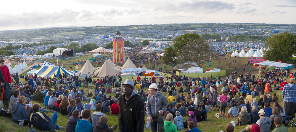
At Glastonbury this year, there were around 200,000 people, 91 stages, over 750 market stalls and nearly 7,000 toilets. In fact, the amount of space taken up by the festival meant the festival temporarily became the UK’s 46th largest town.
Google added some points (via entries in Google+) for the main stages but without any other reference points; they were essentially sat in the middle of a field and therefore offered nothing of much use to festival-goers.
Of course, this isn't surprising given that the site is a working farm for the majority of the year. Weighing up the arguments for and against, here I explore why a town with the population of Brighton is missing from maps.
Why map app users are losing out at music festivals
First and foremost, there are two obvious challenges faced by festival-goers trying to use map applications, namely that of poor smartphone battery life and woeful data network coverage. These issues are slowly being addressed by mobile network operators, with limited success so far.
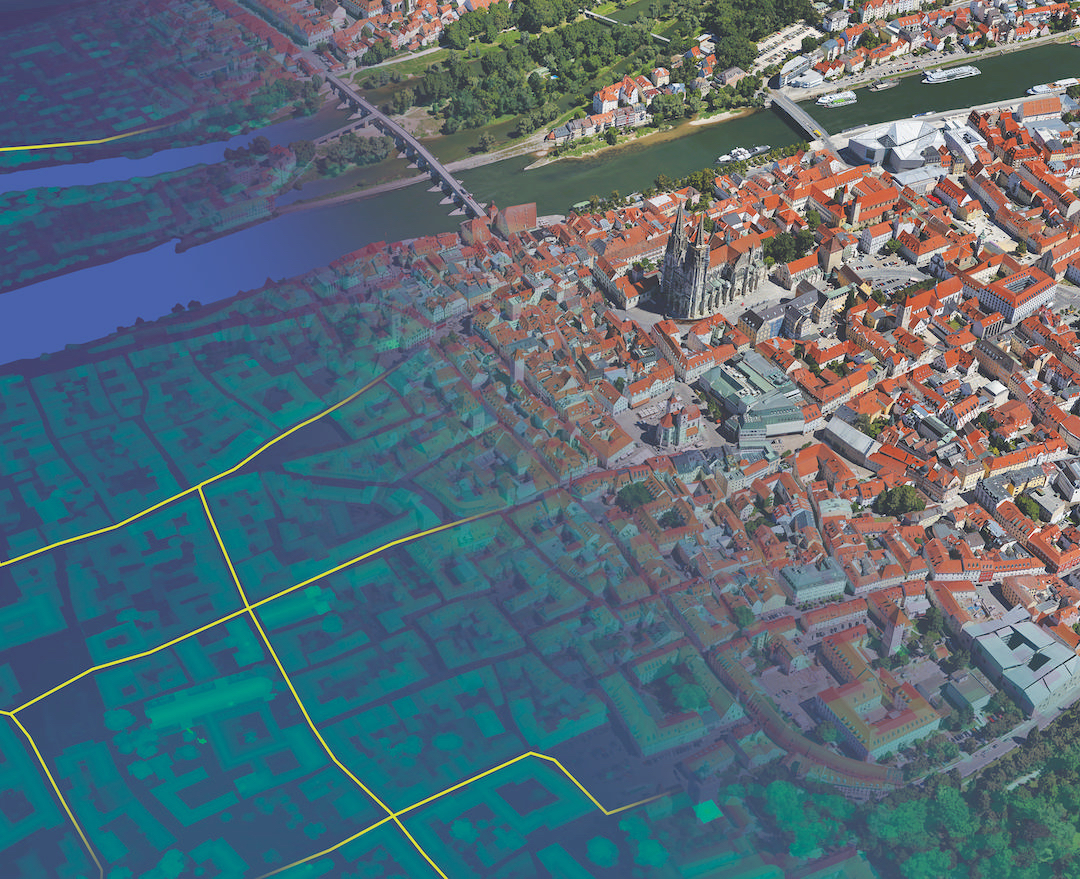
Most mapping providers have inclusion criteria for features and usually this includes permanence. The Ordnance Survey, for example; will only include something in its maps if it is likely to be in place for 10 years. Google has a similar concept.
But with the exception of a few roads and the frame of the iconic Pyramid stage at Glastonbury, everything built for the festival is temporary. This makes it the largest greenfield music festival in the world but it also means that very little would be considered permanent; in turn giving mapping providers an easy get out to not include it on their maps.
> See also: What will happen if Google and Microsoft leave the mapping world?
The reality is that creating temporary maps is just too complicated. For most mapping providers, it would be impossible to produce public-ready data fast enough.
Most features are captured from aerial or satellite imagery and even if it was possible to get a plane into the air quick enough (and if there was enough clear weather to avoid cloud cover), it is unlikely that the images could be turned into maps, quality checked and loaded onto a production system before the festival would begin each year. In fact, most of the tents and stages at festivals are only finished a few days before the gates open so this option wouldn’t work.
The importance of mapping at temporary events
Of course, my argument that there is no map of a temporary event like a music festival might seem trivial but the problem applies to any event, incident or location that can be considered temporary. This could be anything from a sprawling refugee camp to the remains of a city after an earthquake.
Smartphones and other mobile devices are everywhere and although problems still exist with the supporting infrastructure, the fact that an army of civilians with smartphones can’t navigate easily in a new, different or rapidly changing environment is almost certainly going to reduce the effectiveness of any rescue or humanitarian effort.
Organisations such as MapAction and even Google’s own CrisisMap or Maps Engine provide GIS support during a crisis but these rarely offer the level of up-to-date detail that the public are used to.
What can be done to fix the problem?
To address these challenges, there needs to be a fundamental change to the way that the mapping data is stored and rendered. To do this, an efficient model for getting data into production systems and out to customers is required and this could mean big changes to the way that the data is checked and stored.
But perhaps most importantly is the need for a change in the way that Geographic Information System (GIS) data is created. GIS data is always created, stored and represented as points, lines or polygons. While these concepts are familiar to any GIS professional, they are alien to the majority of people; which makes it difficult for members of the public to create or edit data.
Complex GIS datasets such as Ordnance Survey’s MasterMap product often use all three feature types to represent a single 'real world feature.' A house, for instance, would contain a polygon representing the shape of the house, a series of lines to represent the walls and a central point containing the address data. For GIS data to be edited by the public or another interested party therefore, the data creation platform needs to be as simple and intuitive as possible.
For a music festival, we can imagine that only a relatively small number of real world features need to be represented on a map, such as stages, roads, paths, facilities (such as toilets and water points) and ATMs.
This data could be captured on a single mobile device and turned into a map by as few as one or two individuals. Of course, there are a considerable number of outdoor music festivals in the UK alone, not to mention other temporary events and incidents around the world. For the larger events, drones or complex survey equipment could be used to accurately map the particular incidents.
Will we see more accurate mapping of festivals such as Glastonbury next year? That remains to be seen, but the key to justifying the value of this effort will be in ensuring the data can be viewed and used in applications that are already well established, and this is where the likes of Google and Apple must play a part.
Sourced from Gareth Bathers, Senior Project Manager, Cyient